Review available information
We discuss the excavation scope and consider plans, visible infrastructure, access and known service records.
Identify and map underground utilities before excavation, trenching or drilling to reduce strikes, delays and costly damage.
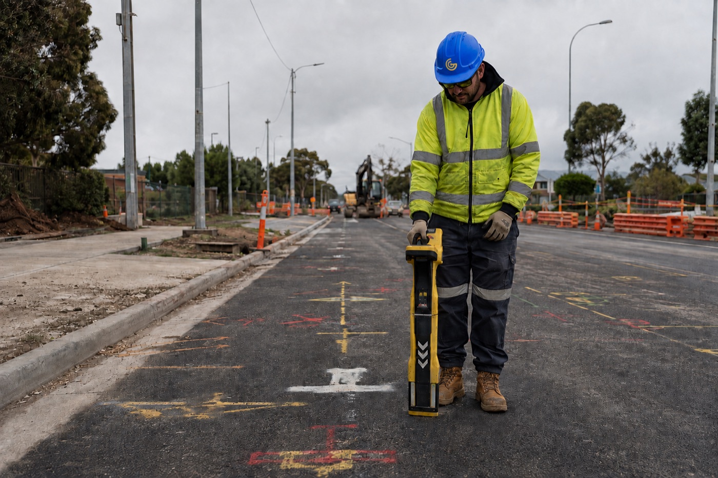
Excavation without reliable service information can expose people, programs and critical infrastructure to unnecessary risk. BWize uses complementary locating methods to investigate buried services and help teams plan with greater confidence.
Ground Penetrating Radar and electromagnetic detection can be used to trace and mark utilities such as water, gas, sewer, stormwater, electrical and telecommunications infrastructure. We interpret the available evidence, explain limitations and provide practical information for the proposed work.
Every site is different. We confirm the requirement, choose a suitable method and keep the people relying on our work informed.
We discuss the excavation scope and consider plans, visible infrastructure, access and known service records.
GPR and electromagnetic equipment are used as appropriate to locate and follow subsurface features.
Findings are marked and communicated with relevant depths, confidence and limitations so the team can plan the next step.
BWize regularly works across metropolitan and regional Victoria and supports interstate projects throughout southern and eastern Australia—with wider travel considered where the scope calls for it.
Share the location, timing and required outcome. We’ll help identify the next practical step.
Request a Quote